 vesseltracker.com
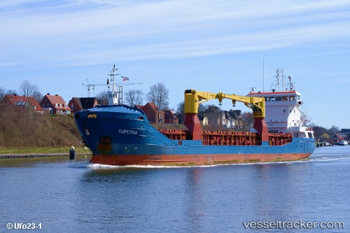
 KAROLINE
Current Status
Where is the vessel?
KAROLINE is currently in Near St. Helena Island, based on AIS data received less than 1h ago.
Latest AIS update:
Current position: 15.91760° S, 5.71415° W (Near St. Helena Island)
Average speed (last 7 days): Loading…
Average speed (last 30 days): Loading…
Vessel profile: KAROLINE is a General Cargo with dimensions m x m.
This page combines live AIS, route history, probable destination signals, nearby traffic, and port activity for practical vessel monitoring.
The current position of vessel KAROLINE is -15.91760 lat / -5.71415 lng. Updated: 2026-05-14 22:56:32 UTCCurrently sailing under the flag of Marshall Islands ![]()
Details:
Live Vessel KAROLINE Analytics (details, animations, etc.)
Recent AIS points (UTC):
2026-05-14 19:08:35 UTC · -15.91761, -5.71416 · SOG 0 kn · COG 31°2026-05-14 19:50:34 UTC · -15.91763, -5.71418 · SOG 0 kn · COG 31°
2026-05-14 22:20:37 UTC · -15.91764, -5.71414 · SOG 0 kn · COG 31°
2026-05-14 22:56:32 UTC · -15.91760, -5.71415 · SOG 0 kn · COG 31°