 vesseltracker.com
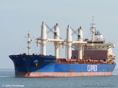
 SOLENT
Current Status
Where is the vessel?
SOLENT is currently in 24 nm NE of Craigellachie, based on AIS data received less than 1h ago.
Latest AIS update:
Current position: 57.67833° N, 3.84500° E (24 nm NE of Craigellachie)
Average speed (last 7 days): Loading…
Average speed (last 30 days): Loading…
Vessel profile: SOLENT is a Bulk Carrier with dimensions m x m.
This page combines live AIS, route history, probable destination signals, nearby traffic, and port activity for practical vessel monitoring.
The current position of vessel SOLENT is 57.67833 lat / 3.84500 lng. Updated: 2026-05-15 10:11:16 UTCNearest reference points:
- Near HUSOYA
- Near Storøya
- Near Lura
Currently sailing under the flag of Barbados ![]()
Details:
Live Vessel SOLENT Analytics (details, animations, etc.)
Recent AIS points (UTC):
2026-05-15 07:08:22 UTC · 58.22828, 3.93068 · SOG 11 kn · COG 183°2026-05-15 07:35:12 UTC · 58.14667, 3.92333 · SOG 11 kn · COG -1°
2026-05-15 09:05:11 UTC · 57.87667, 3.89500 · SOG 10 kn · COG -1°
2026-05-15 10:11:16 UTC · 57.67833, 3.84500 · SOG 10 kn · COG -1°