 vesseltracker.com
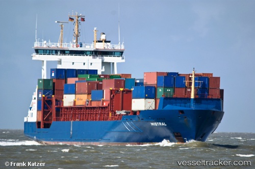
 NOVIK MARIA
Current Status
Where is the vessel?
NOVIK MARIA is currently in Near Gvardeysk, based on AIS data received less than 1h ago.
Latest AIS update:
Current position: 54.56158° N, 20.97187° E (Near Gvardeysk)
Average speed (last 7 days): Loading…
Average speed (last 30 days): Loading…
Vessel profile: NOVIK MARIA is a Container Ship with dimensions m x m.
This page combines live AIS, route history, probable destination signals, nearby traffic, and port activity for practical vessel monitoring.
The current position of vessel NOVIK MARIA is 54.56158 lat / 20.97187 lng. Updated: 2026-04-28 00:13:22 UTCNearest reference points:
- Near Kaliningrad
- Near SVETLY
- Near Baltiysk
Currently sailing under the flag of Russia ![]()
Details:
Live Vessel NOVIK MARIA Analytics (details, animations, etc.)
Recent AIS points (UTC):
2026-04-27 19:44:37 UTC · 54.70522, 20.46248 · SOG 0.8 kn · COG 257°2026-04-27 20:47:16 UTC · 54.41019, 20.39948 · SOG 7.9 kn · COG 257°
2026-04-27 20:47:16 UTC · 54.41019, 20.39948 · SOG 7.9 kn · COG 257°
2026-04-28 00:13:22 UTC · 54.56158, 20.97187 · SOG 7.7 kn · COG 258°