 vesseltracker.com
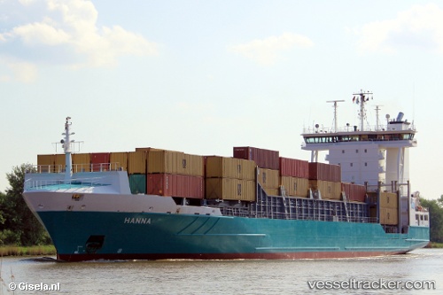
 Hanna
Hanna
Current Status
Where is the vessel?
Hanna is currently in 27 nm SW of Matera, based on AIS data received about 1h ago.
Latest AIS update:
Current position: 40.31700° N, 13.22817° E (27 nm SW of Matera)
Average speed (last 7 days): Loading…
Average speed (last 30 days): Loading…
Vessel profile: Hanna is a Container Ship with dimensions 134m x 23m.
This page combines live AIS, route history, probable destination signals, nearby traffic, and port activity for practical vessel monitoring.
The current position of vessel Hanna is 40.31700 lat / 13.22817 lng. Updated: 2026-04-30 11:52:00 UTCNearest reference points:
- 16 nm S of Matera
- Near Gaeta
- Near Anacapri
Currently sailing under the flag of Cyprus ![]()
Hanna built in 2008 year
Deadweight:
11408 tDetails:
Live Vessel Hanna Analytics (details, animations, etc.)
Recent AIS points (UTC):
2026-04-30 07:51:22 UTC · 39.94500, 12.20500 · SOG 12 kn · COG -1°2026-04-30 09:59:00 UTC · 40.13633, 12.75067 · SOG 13.2 kn · COG 61°
2026-04-30 10:14:29 UTC · 40.16200, 12.81650 · SOG 13.1 kn · COG 61°
2026-04-30 11:52:00 UTC · 40.31700, 13.22817 · SOG 12.8 kn · COG 63°