 vesseltracker.com
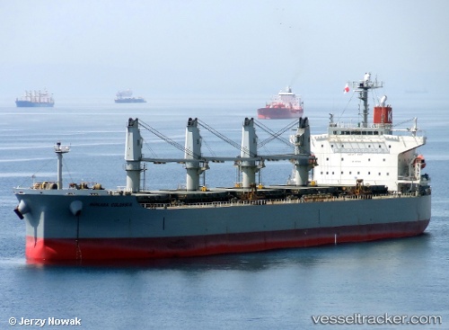
Gemini
Current StatusWhere is the vessel?
Gemini is currently in 70 nm SE of Suqutrá, based on AIS data received about 1h ago.
Latest AIS update:
Current position: 11.90103° N, 55.01597° E (70 nm SE of Suqutrá)
Average speed (last 7 days): Loading…
Average speed (last 30 days): Loading…
Vessel profile: Gemini is a Bulk Carrier with dimensions 32m x 190m.
This page combines live AIS, route history, probable destination signals, nearby traffic, and port activity for practical vessel monitoring.
The current position of vessel Gemini is 11.90103 lat / 55.01597 lng. Updated: 2026-05-14 20:09:45 UTCDetails:
Live Vessel Gemini Analytics (details, animations, etc.)
Recent AIS points (UTC):
2026-05-14 16:10:50 UTC · 12.57553, 55.08287 · SOG 10.1 kn · COG 172°2026-05-14 16:34:59 UTC · 12.50596, 55.09210 · SOG 10.3 kn · COG 172°
2026-05-14 18:57:00 UTC · 12.10267, 55.07362 · SOG 10 kn · COG 186°
2026-05-14 20:09:45 UTC · 11.90103, 55.01597 · SOG 9.8 kn · COG 193°