 vesseltracker.com
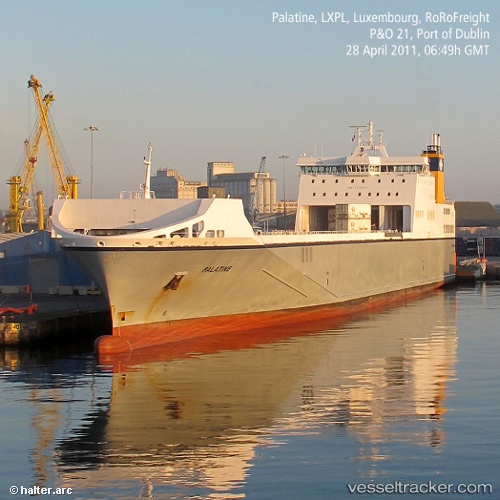
 Palatine
Current Status
Where is the vessel?
Palatine is currently in Near Zwartewaal, based on AIS data received less than 1h ago.
Latest AIS update:
Current position: 51.89796° N, 4.23167° E (Near Zwartewaal)
Average speed (last 7 days): Loading…
Average speed (last 30 days): Loading…
Vessel profile: Palatine is a Ro Ro Cargo Ship with dimensions 194m x 26m.
This page combines live AIS, route history, probable destination signals, nearby traffic, and port activity for practical vessel monitoring.
The current position of vessel Palatine is 51.89796 lat / 4.23167 lng. Updated: 2026-05-16 12:22:15 UTCNearest reference points:
- Near Zwartewaal
- Near Maassluis
- Near Botlek
Currently sailing under the flag of Malta ![]()
Palatine built in 2009 year
Deadweight:
14565 tDetails:
Live Vessel Palatine Analytics (details, animations, etc.)
Recent AIS points (UTC):
2026-05-16 07:41:10 UTC · 51.89833, 4.23167 · SOG 0 kn · COG -1°2026-05-16 09:34:48 UTC · 51.89799, 4.23166 · SOG 0.1 kn · COG 322°
2026-05-16 09:58:42 UTC · 51.89798, 4.23164 · SOG 0.1 kn · COG 13°
2026-05-16 12:22:15 UTC · 51.89796, 4.23167 · SOG 0.1 kn · COG 322°