 vesseltracker.com
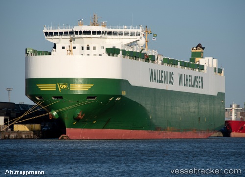
 Aniara
Current Status
Where is the vessel?
Aniara is currently in 40 nm N of Green Turtle Cay, based on AIS data received about 2h ago.
Latest AIS update:
Current position: 27.38618° N, 77.08162° W (40 nm N of Green Turtle Cay)
Average speed (last 7 days): Loading…
Average speed (last 30 days): Loading…
Vessel profile: Aniara is a Vehicles Carrier with dimensions 232m x 232m.
This page combines live AIS, route history, probable destination signals, nearby traffic, and port activity for practical vessel monitoring.
The current position of vessel Aniara is 27.38618 lat / -77.08162 lng. Updated: 2026-05-14 23:32:03 UTCNearest reference points:
- 75 nm N of Green Turtle Cay
- Near Green Turtle Cay
- 113 nm NE of Green Turtle Cay
Currently sailing under the flag of Sweden ![]()
Aniara built in 2008 year
Deadweight:
30089 tDetails:
Live Vessel Aniara Analytics (details, animations, etc.)
Recent AIS points (UTC):
2026-05-14 18:53:48 UTC · 26.33833, -76.21167 · SOG 16 kn · COG -1°2026-05-14 21:35:45 UTC · 26.99167, -76.66167 · SOG 17 kn · COG -1°
2026-05-14 23:08:02 UTC · 27.30530, -76.99515 · SOG 16 kn · COG 315°
2026-05-14 23:32:03 UTC · 27.38618, -77.08162 · SOG 16 kn · COG 315°