 vesseltracker.com
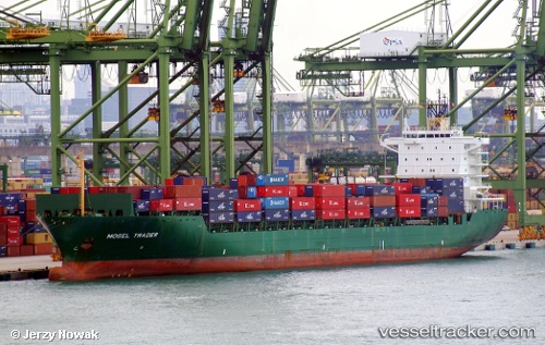
 ESL DUBAI
Current Status
Where is the vessel?
ESL DUBAI is currently in 11 nm SE of Mombasa, based on AIS data received less than 1h ago.
Latest AIS update:
Current position: 4.15111° S, 39.84043° E (11 nm SE of Mombasa)
Average speed (last 7 days): Loading…
Average speed (last 30 days): Loading…
Vessel profile: ESL DUBAI is a Container Ship with dimensions m x m.
This page combines live AIS, route history, probable destination signals, nearby traffic, and port activity for practical vessel monitoring.
The current position of vessel ESL DUBAI is -4.15111 lat / 39.84043 lng. Updated: 2026-05-14 03:55:39 UTCNearest reference points:
- 11 nm SE of Mombasa
- Near Mombasa
Currently sailing under the flag of Portugal ![]()
Details:
Live Vessel ESL DUBAI Analytics (details, animations, etc.)
Recent AIS points (UTC):
2026-05-14 00:13:20 UTC · -4.30764, 39.82431 · SOG 2.3 kn · COG 240°2026-05-14 01:33:49 UTC · -4.25230, 39.82802 · SOG 2.4 kn · COG 245°
2026-05-14 02:07:38 UTC · -4.22881, 39.82973 · SOG 2.4 kn · COG 247°
2026-05-14 03:55:39 UTC · -4.15111, 39.84043 · SOG 2.7 kn · COG 244°