 vesseltracker.com
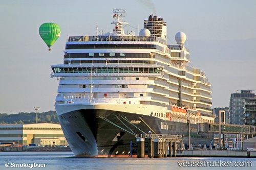
 Eurodam
Current Status
Where is the vessel?
Eurodam is currently in 51 nm W of Haines, based on AIS data received less than 1h ago.
Latest AIS update:
Current position: 59.03139° N, 137.03751° W (51 nm W of Haines)
Average speed (last 7 days): Loading…
Average speed (last 30 days): Loading…
Vessel profile: Eurodam is a Cruise Ship with dimensions 287m x 36m.
This page combines live AIS, route history, probable destination signals, nearby traffic, and port activity for practical vessel monitoring.
The current position of vessel Eurodam is 59.03139 lat / -137.03751 lng. Updated: 2026-04-28 17:37:56 UTCNearest reference points:
- Near Juneau
- Near Sitka
Currently sailing under the flag of Netherlands ![]()
Eurodam built in 2008 year
Deadweight:
9125 tDetails:
Live Vessel Eurodam Analytics (details, animations, etc.)
Recent AIS points (UTC):
2026-04-28 13:23:54 UTC · 58.31613, -135.88820 · SOG 11 kn · COG 279°2026-04-28 15:51:19 UTC · 58.81948, -136.48730 · SOG 16.4 kn · COG 306°
2026-04-28 16:33:18 UTC · 58.90027, -136.80591 · SOG 10.6 kn · COG 292°
2026-04-28 17:37:56 UTC · 59.03139, -137.03751 · SOG 4.4 kn · COG 312°