 vesseltracker.com
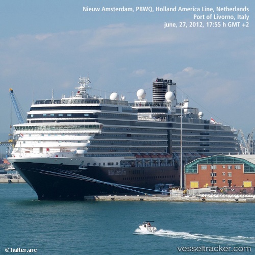
 Nieuw Amsterdam
Current Status
Where is the vessel?
Nieuw Amsterdam is currently in Near Watson Island, based on AIS data received less than 1h ago.
Latest AIS update:
Current position: 54.19304° N, 130.43254° W (Near Watson Island)
Average speed (last 7 days): Loading…
Average speed (last 30 days): Loading…
Vessel profile: Nieuw Amsterdam is a Cruise Ship with dimensions 285m x 36m.
This page combines live AIS, route history, probable destination signals, nearby traffic, and port activity for practical vessel monitoring.
The current position of vessel Nieuw Amsterdam is 54.19304 lat / -130.43254 lng. Updated: 2026-05-15 11:57:29 UTCNearest reference points:
- Near Watson Island
- Near Prince Rupert
- 11 nm S of Kitimat
Currently sailing under the flag of Netherlands ![]()
Nieuw Amsterdam built in 2010 year
Deadweight:
8754 tDetails:
Live Vessel Nieuw Amsterdam Analytics (details, animations, etc.)
Recent AIS points (UTC):
2026-05-15 07:59:38 UTC · 54.45881, -131.73615 · SOG 12.7 kn · COG 102°2026-05-15 10:08:40 UTC · 54.33734, -130.99596 · SOG 13.9 kn · COG 108°
2026-05-15 10:13:27 UTC · 54.33156, -130.96564 · SOG 14.3 kn · COG 109°
2026-05-15 11:57:29 UTC · 54.19304, -130.43254 · SOG 9.2 kn · COG 100°