 vesseltracker.com
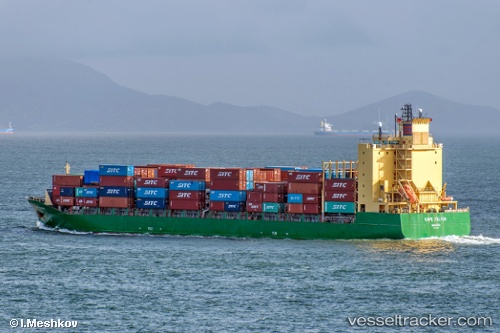
Cape Felton
Current StatusWhere is the vessel?
Cape Felton is currently in 12 nm SW of Banting, based on AIS data received about 1h ago.
Latest AIS update:
Current position: 2.65337° N, 101.35399° E (12 nm SW of Banting)
Average speed (last 7 days): Loading…
Average speed (last 30 days): Loading…
Vessel profile: Cape Felton is a Container Ship with dimensions 25m x 170m.
This page combines live AIS, route history, probable destination signals, nearby traffic, and port activity for practical vessel monitoring.
The current position of vessel Cape Felton is 2.65337 lat / 101.35399 lng. Updated: 2026-05-02 22:06:40 UTCNearest reference points:
- 14 nm SW of Banting
- 15 nm SW of Banting
- Near Carey Island Estate
Details:
Live Vessel Cape Felton Analytics (details, animations, etc.)
Recent AIS points (UTC):
2026-05-02 19:55:58 UTC · 2.32639, 101.81159 · SOG 16.6 kn · COG 310°2026-05-02 20:15:03 UTC · 2.38140, 101.74350 · SOG 15.9 kn · COG 307°
2026-05-02 21:57:27 UTC · 2.63526, 101.38767 · SOG 14.9 kn · COG 297°
2026-05-02 22:06:40 UTC · 2.65337, 101.35399 · SOG 14.7 kn · COG 302°