 vesseltracker.com
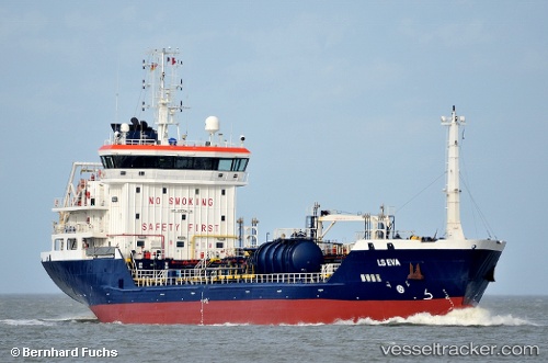
 TEJAS
TEJAS
Current Status
Where is the vessel?
TEJAS is currently in Near Eleusina, based on AIS data received about 1h ago.
Latest AIS update:
Current position: 38.02677° N, 23.53002° E (Near Eleusina)
Average speed (last 7 days): Loading…
Average speed (last 30 days): Loading…
Vessel profile: TEJAS is a Oil/Chemical Tanker with dimensions m x m.
This page combines live AIS, route history, probable destination signals, nearby traffic, and port activity for practical vessel monitoring.
The current position of vessel TEJAS is 38.02677 lat / 23.53002 lng. Updated: 2026-05-14 05:54:19 UTCNearest reference points:
- Near PERAMA
- Near Keratsínion
- Near Drapetzona
Currently sailing under the flag of Marshall Islands ![]()
Details:
Live Vessel TEJAS Analytics (details, animations, etc.)
Recent AIS points (UTC):
2026-05-14 02:06:19 UTC · 38.02605, 23.53005 · SOG 0 kn · COG 96°2026-05-14 03:54:22 UTC · 38.02599, 23.52994 · SOG 0 kn · COG 81°
2026-05-14 05:06:18 UTC · 38.02696, 23.52989 · SOG 0.2 kn · COG 141°
2026-05-14 05:54:19 UTC · 38.02677, 23.53002 · SOG 0.1 kn · COG 153°