 vesseltracker.com
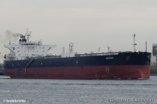
 SAND
SAND
Current Status
Where is the vessel?
SAND is currently in Near Myskhako, based on AIS data received less than 1h ago.
Latest AIS update:
Current position: 44.62676° N, 37.80159° E (Near Myskhako)
Average speed (last 7 days): Loading…
Average speed (last 30 days): Loading…
Vessel profile: SAND is a Oil Products Tanker with dimensions m x m.
This page combines live AIS, route history, probable destination signals, nearby traffic, and port activity for practical vessel monitoring.
The current position of vessel SAND is 44.62676 lat / 37.80159 lng. Updated: 2026-04-27 17:23:09 UTCNearest reference points:
- Near Novorossiysk
- Near GELENDZHIK
- Near Cpc Terminal
Currently sailing under the flag of Panama ![]()
Details:
Live Vessel SAND Analytics (details, animations, etc.)
Recent AIS points (UTC):
2026-04-27 14:06:55 UTC · 44.40329, 37.72381 · SOG 1.7 kn · COG 21°2026-04-27 15:49:43 UTC · 44.42363, 37.75013 · SOG 0.9 kn · COG 3°
2026-04-27 15:49:43 UTC · 44.42363, 37.75013 · SOG 0.9 kn · COG 3°
2026-04-27 17:23:09 UTC · 44.62676, 37.80159 · SOG 8.8 kn · COG 126°