 vesseltracker.com
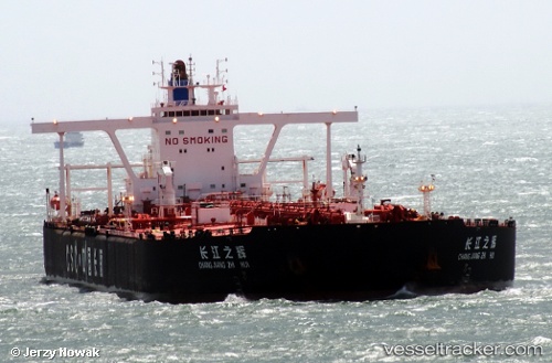
 MT CUMA
Current Status
Where is the vessel?
MT CUMA is currently in 53 nm NE of PENGERANG, based on AIS data received about 1h ago.
Latest AIS update:
Current position: 1.99213° N, 104.76121° E (53 nm NE of PENGERANG)
Average speed (last 7 days): Loading…
Average speed (last 30 days): Loading…
Vessel profile: MT CUMA is a Tanker with dimensions m x m.
This page combines live AIS, route history, probable destination signals, nearby traffic, and port activity for practical vessel monitoring.
The current position of vessel MT CUMA is 1.99213 lat / 104.76121 lng. Updated: 2026-04-27 02:39:25 UTCNearest reference points:
- 55 nm NE of PENGERANG
- 52 nm NE of PENGERANG
- 53 nm NE of PENGERANG
Details:
Live Vessel MT CUMA Analytics (details, animations, etc.)
Recent AIS points (UTC):
2026-04-26 23:27:14 UTC · 1.99060, 104.76056 · SOG 0 kn · COG 110°2026-04-26 23:27:14 UTC · 1.99060, 104.76056 · SOG 0 kn · COG 110°
2026-04-26 23:27:14 UTC · 1.99060, 104.76056 · SOG 0 kn · COG 110°
2026-04-27 02:39:25 UTC · 1.99213, 104.76121 · SOG 0 kn · COG 144°