 vesseltracker.com
 MITERA
Current Status
Where is the vessel?
MITERA is currently in Near Port Arthur, based on AIS data received less than 1h ago.
Latest AIS update:
Current position: 29.83400° N, 93.96700° W (Near Port Arthur)
Average speed (last 7 days): Loading…
Average speed (last 30 days): Loading…
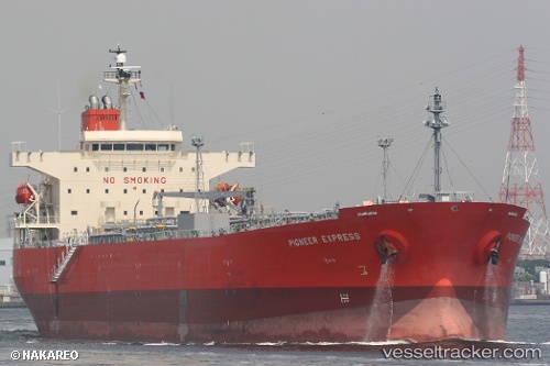
Vessel profile: MITERA is a Oil Products Tanker with dimensions 32m x 182m.
This page combines live AIS, route history, probable destination signals, nearby traffic, and port activity for practical vessel monitoring.
The current position of vessel MITERA is 29.834 lat / -93.967 lng. Updated: 2026-05-02 10:12:05 UTCNearest reference points:
- Near SABINE PASS
- 10 nm W of Sabine Pass
- Near Atreco
Currently sailing under the flag of Malta ![]()
MITERA built in 2009 year
Deadweight:
47370 tDetails:
Live Vessel MITERA Analytics (details, animations, etc.)
Recent AIS points (UTC):
2026-05-02 05:23:47 UTC · 29.83400, -93.96700 · SOG 0 kn · COG 127°2026-05-02 07:03:02 UTC · 29.83400, -93.96710 · SOG 0 kn · COG 127°
2026-05-02 07:27:03 UTC · 29.83400, -93.96700 · SOG 0 kn · COG 127°
2026-05-02 10:12:05 UTC · 29.83400, -93.96700 · SOG 0 kn · COG 127°