 vesseltracker.com
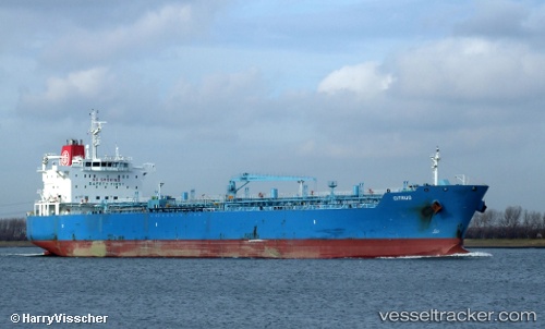
 SEA LA BELLE
Current Status
Where is the vessel?
SEA LA BELLE is currently in 182 nm NE of Bushiribana, based on AIS data received about 1h ago.
Latest AIS update:
Current position: 15.27667° N, 68.60167° W (182 nm NE of Bushiribana)
Average speed (last 7 days): Loading…
Average speed (last 30 days): Loading…
Vessel profile: SEA LA BELLE is a Oil/Chemical Tanker with dimensions m x m.
This page combines live AIS, route history, probable destination signals, nearby traffic, and port activity for practical vessel monitoring.
The current position of vessel SEA LA BELLE is 15.27667 lat / -68.60167 lng. Updated: 2026-05-15 10:17:57 UTCNearest reference points:
- 148 nm N of Dorp Rincón
- 82 nm S of Santa Isabel
- 24 nm NW of Palm Beach
Currently sailing under the flag of Liberia ![]()
Details:
Live Vessel SEA LA BELLE Analytics (details, animations, etc.)
Recent AIS points (UTC):
2026-05-15 07:32:55 UTC · 15.59833, -68.02167 · SOG 14 kn · COG -1°2026-05-15 07:53:54 UTC · 15.55667, -68.09667 · SOG 14 kn · COG -1°
2026-05-15 09:41:55 UTC · 15.34167, -68.47333 · SOG 14 kn · COG -1°
2026-05-15 10:17:57 UTC · 15.27667, -68.60167 · SOG 13 kn · COG -1°