 vesseltracker.com
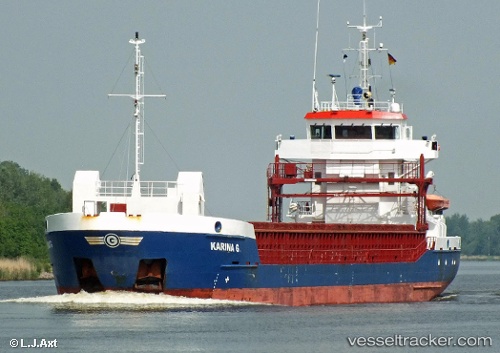
 CELTIC EXPLORER
Current Status
Where is the vessel?
CELTIC EXPLORER is currently in Near FIGUEIRA DA FOZ, based on AIS data received about 1h ago.
Latest AIS update:
Current position: 40.14693° N, 8.85094° W (Near FIGUEIRA DA FOZ)
Average speed (last 7 days): Loading…
Average speed (last 30 days): Loading…
Vessel profile: CELTIC EXPLORER is a General Cargo Ship with dimensions 88m x 12m.
This page combines live AIS, route history, probable destination signals, nearby traffic, and port activity for practical vessel monitoring.
The current position of vessel CELTIC EXPLORER is 40.14693 lat / -8.85094 lng. Updated: 2026-04-27 19:53:48 UTCNearest reference points:
- Near Figuera Da Foz
- Near Gafanha da Nazaré
- Near Nazaré
Currently sailing under the flag of Antigua and Barbuda ![]()
CELTIC EXPLORER built in 2007 year
Deadweight:
3875 tDetails:
Live Vessel CELTIC EXPLORER Analytics (details, animations, etc.)
Recent AIS points (UTC):
2026-04-27 17:02:49 UTC · 40.14690, -8.85098 · SOG 0 kn · COG 264°2026-04-27 18:11:48 UTC · 40.14695, -8.85094 · SOG 0 kn · COG 265°
2026-04-27 19:20:47 UTC · 40.14691, -8.85094 · SOG 0 kn · COG 267°
2026-04-27 19:53:48 UTC · 40.14693, -8.85094 · SOG 0 kn · COG 266°