 vesseltracker.com
 Zimrida
Current Status
Where is the vessel?
Zimrida is currently in 96 nm W of Jarjis, based on AIS data received about 113d ago.
Latest AIS update:
Current position: 33.94508° N, 12.93701° W (96 nm W of Jarjis)
Average speed (last 7 days): Loading…
Average speed (last 30 days): Loading…
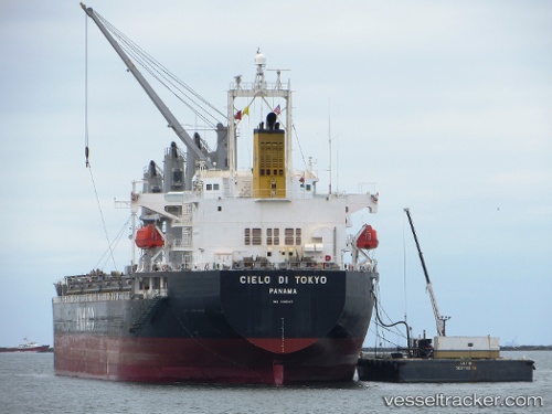
Vessel profile: Zimrida is a Bulk Carrier with dimensions 178m x 28m.
This page combines live AIS, route history, probable destination signals, nearby traffic, and port activity for practical vessel monitoring.
The current position of vessel Zimrida is 33.94508 lat / -12.93701 lng. Updated: 2026-01-21 09:00:06 UTCNearest reference points:
- 104 nm W of Jarjis
- 101 nm SW of Jarjis
- 25 nm SW of Jarjis
Currently sailing under the flag of Barbados ![]()
Zimrida built in 2008 year
Deadweight:
37296 tDetails:
Live Vessel Zimrida Analytics (details, animations, etc.)
Recent AIS points (UTC):
2026-01-21 09:00:06 UTC · 33.94508, -12.93701 · SOG 11.2 kn · COG 191°