 vesseltracker.com
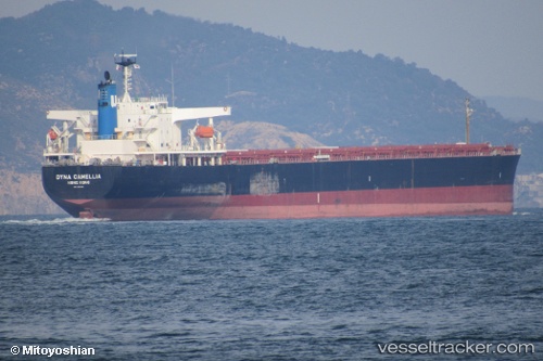
 FUXING V
Current Status
Where is the vessel?
FUXING V is currently in 73 nm NW of Carino, based on AIS data received about 1h ago.
Latest AIS update:
Current position: 44.81980° N, 8.63406° W (73 nm NW of Carino)
Average speed (last 7 days): Loading…
Average speed (last 30 days): Loading…
Vessel profile: FUXING V is a Bulk Carrier with dimensions m x m.
This page combines live AIS, route history, probable destination signals, nearby traffic, and port activity for practical vessel monitoring.
The current position of vessel FUXING V is 44.81980 lat / -8.63406 lng. Updated: 2026-04-27 13:43:17 UTCNearest reference points:
- 57 nm S of Boboras
- 30 nm NW of Meiras-Valdoviño
- 15 nm NW of CEDEIRA
Currently sailing under the flag of Liberia ![]()
Details:
Live Vessel FUXING V Analytics (details, animations, etc.)
Recent AIS points (UTC):
2026-04-27 10:00:57 UTC · 44.14172, -9.12326 · SOG 11.8 kn · COG 27°2026-04-27 10:00:57 UTC · 44.14172, -9.12326 · SOG 11.8 kn · COG 27°
2026-04-27 11:58:18 UTC · 44.49694, -8.86815 · SOG 12.1 kn · COG 28°
2026-04-27 13:43:17 UTC · 44.81980, -8.63406 · SOG 12.7 kn · COG 30°