 vesseltracker.com
 KAROLIINA
Current Status
Where is the vessel?
KAROLIINA is currently in 27 nm NW of Moulay Bou Selham, based on AIS data received less than 1h ago.
Latest AIS update:
Current position: 35.11945° N, 6.73323° W (27 nm NW of Moulay Bou Selham)
Average speed (last 7 days): Loading…
Average speed (last 30 days): Loading…
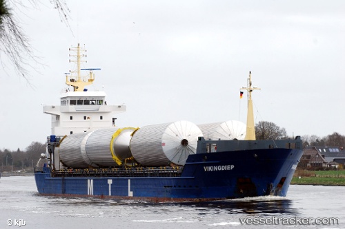
Vessel profile: KAROLIINA is a General Cargo Ship with dimensions 120m x 15m.
This page combines live AIS, route history, probable destination signals, nearby traffic, and port activity for practical vessel monitoring.
The current position of vessel KAROLIINA is 35.11945 lat / -6.73323 lng. Updated: 2026-05-14 19:08:12 UTCNearest reference points:
- Near Gibraltar
- 45 nm W of Gibraltar
- Near Conil de la Frontera
Currently sailing under the flag of Antigua and Barbuda ![]()
KAROLIINA built in 2008 year
Deadweight:
7953 tDetails:
Live Vessel KAROLIINA Analytics (details, animations, etc.)
Recent AIS points (UTC):
2026-05-14 15:33:25 UTC · 34.46833, -7.43167 · SOG 14 kn · COG -1°2026-05-14 16:30:26 UTC · 34.64167, -7.25167 · SOG 14 kn · COG -1°
2026-05-14 18:03:25 UTC · 34.92333, -6.94333 · SOG 14 kn · COG -1°
2026-05-14 19:08:12 UTC · 35.11945, -6.73323 · SOG 14.7 kn · COG 41°