 vesseltracker.com
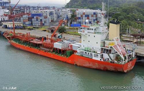
 B. SKY
Current Status
Where is the vessel?
B. SKY is currently in Near South Busan, based on AIS data received about 21d ago.
Latest AIS update:
Current position: 35.04158° N, 129.12785° E (Near South Busan)
Average speed (last 7 days): Loading…
Average speed (last 30 days): Loading…
Vessel profile: B. SKY is a Tanker with dimensions m x m.
This page combines live AIS, route history, probable destination signals, nearby traffic, and port activity for practical vessel monitoring.
The current position of vessel B. SKY is 35.04158 lat / 129.12785 lng. Updated: 2026-04-25 10:17:41 UTCNearest reference points:
- Near Busan
- Near Gamcheon/Busan
- Near Gijang-gun/Busan
Currently sailing under the flag of Panama ![]()
Details:
Live Vessel B. SKY Analytics (details, animations, etc.)
Recent AIS points (UTC):
2026-04-25 10:17:41 UTC · 35.04158, 129.12785 · SOG 13.3 kn · COG -1°