 vesseltracker.com
 VELOS LEO
Current Status
Where is the vessel?
VELOS LEO is currently in Near Jeddah, based on AIS data received less than 1h ago.
Latest AIS update:
Current position: 21.43746° N, 39.14281° E (Near Jeddah)
Average speed (last 7 days): Loading…
Average speed (last 30 days): Loading…
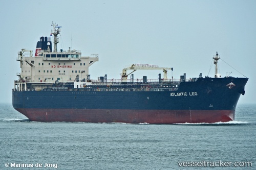
Vessel profile: VELOS LEO is a Chemical/Oil Products Tanker with dimensions 32m x 215m.
This page combines live AIS, route history, probable destination signals, nearby traffic, and port activity for practical vessel monitoring.
The current position of vessel VELOS LEO is 21.43746 lat / 39.14281 lng. Updated: 2026-05-15 10:28:50 UTCNearest reference points:
- Near Jeddah
- Near Tusdeer Free Zone
- 10 nm SW of Jeddah
Currently sailing under the flag of Marshall Islands ![]()
VELOS LEO built in 2008 year
Deadweight:
49999 tDetails:
Live Vessel VELOS LEO Analytics (details, animations, etc.)
Recent AIS points (UTC):
2026-05-15 07:30:50 UTC · 21.37353, 39.01421 · SOG 10.2 kn · COG 70°2026-05-15 07:53:20 UTC · 21.38246, 39.05502 · SOG 3.5 kn · COG 88°
2026-05-15 09:27:00 UTC · 21.37309, 39.06650 · SOG 0.7 kn · COG 56°
2026-05-15 10:28:50 UTC · 21.43746, 39.14281 · SOG 4.2 kn · COG 71°