 vesseltracker.com
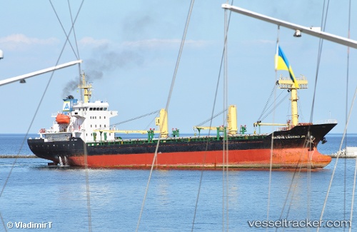
 BELLIS
Current Status
Where is the vessel?
BELLIS is currently in 17 nm SW of Argostolion, based on AIS data received less than 1h ago.
Latest AIS update:
Current position: 37.88963° N, 20.31485° E (17 nm SW of Argostolion)
Average speed (last 7 days): Loading…
Average speed (last 30 days): Loading…
Vessel profile: BELLIS is a General Cargo with dimensions m x m.
This page combines live AIS, route history, probable destination signals, nearby traffic, and port activity for practical vessel monitoring.
The current position of vessel BELLIS is 37.88963 lat / 20.31485 lng. Updated: 2026-04-25 08:20:55 UTCNearest reference points:
- Near Meganísi
- Near Nidhríon
- Near LEFKADA
Currently sailing under the flag of Palau ![]()
Details:
Live Vessel BELLIS Analytics (details, animations, etc.)
Recent AIS points (UTC):
2026-04-25 05:06:16 UTC · 37.45813, 20.52567 · SOG 8.3 kn · COG 337°2026-04-25 05:29:16 UTC · 37.50899, 20.50160 · SOG 8.5 kn · COG 337°
2026-04-25 07:42:53 UTC · 37.80167, 20.35667 · SOG 8 kn · COG -1°
2026-04-25 08:20:55 UTC · 37.88963, 20.31485 · SOG 8.6 kn · COG 337°