 vesseltracker.com
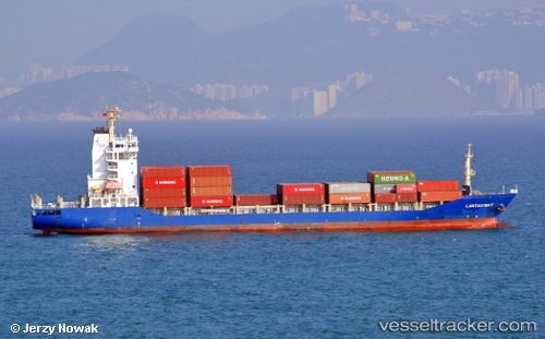
 MARTI STAR II
Current Status
Where is the vessel?
MARTI STAR II is currently in Near Aomi, based on AIS data received less than 1h ago.
Latest AIS update:
Current position: 35.61167° N, 139.76167° E (Near Aomi)
Average speed (last 7 days): Loading…
Average speed (last 30 days): Loading…
Vessel profile: MARTI STAR II is a Container Ship with dimensions m x m.
This page combines live AIS, route history, probable destination signals, nearby traffic, and port activity for practical vessel monitoring.
The current position of vessel MARTI STAR II is 35.61167 lat / 139.76167 lng. Updated: 2026-05-14 11:59:58 UTCNearest reference points:
- Near Aomi
- Near Kawasaki
- Near Yokohama
Currently sailing under the flag of Liberia ![]()
Details:
Live Vessel MARTI STAR II Analytics (details, animations, etc.)
Recent AIS points (UTC):
2026-05-14 07:51:55 UTC · 35.61331, 139.76256 · SOG 0 kn · COG 345°2026-05-14 10:24:57 UTC · 35.61327, 139.76263 · SOG 0 kn · COG 345°
2026-05-14 11:00:59 UTC · 35.61330, 139.76257 · SOG 0 kn · COG 345°
2026-05-14 11:59:58 UTC · 35.61167, 139.76167 · SOG 0 kn · COG -1°