 vesseltracker.com
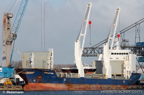
 UAL MANITOBA
Current Status
Where is the vessel?
UAL MANITOBA is currently in 362 nm E of Sam Lords Castle, based on AIS data received about 1h ago.
Latest AIS update:
Current position: 11.92506° N, 53.37620° W (362 nm E of Sam Lords Castle)
Average speed (last 7 days): Loading…
Average speed (last 30 days): Loading…
Vessel profile: UAL MANITOBA is a General Cargo Ship with dimensions 137m x 137m.
This page combines live AIS, route history, probable destination signals, nearby traffic, and port activity for practical vessel monitoring.
The current position of vessel UAL MANITOBA is 11.92506 lat / -53.37620 lng. Updated: 2026-05-01 03:55:08 UTCNearest reference points:
- Open sea, approx. 407 nm off the nearest listed port
- Open sea, approx. 416 nm off the nearest listed port
- Open sea, approx. 417 nm off the nearest listed port
Currently sailing under the flag of Portugal (MAR) ![]()
UAL MANITOBA built in 2007 year
Deadweight:
12744 tDetails:
Live Vessel UAL MANITOBA Analytics (details, animations, etc.)
Recent AIS points (UTC):
2026-05-01 01:49:31 UTC · 11.85340, -52.95282 · SOG 11.9 kn · COG 280°2026-05-01 01:49:31 UTC · 11.85340, -52.95282 · SOG 11.9 kn · COG 280°
2026-05-01 01:49:31 UTC · 11.85340, -52.95282 · SOG 11.9 kn · COG 280°
2026-05-01 03:55:08 UTC · 11.92506, -53.37620 · SOG 11.8 kn · COG 280°