 vesseltracker.com
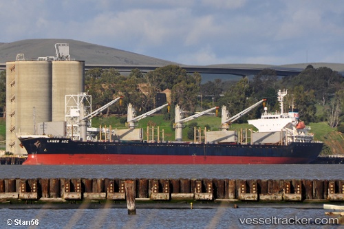
 ATLANTIC ADAM
Current Status
Where is the vessel?
ATLANTIC ADAM is currently in 13 nm S of Kumport, based on AIS data received about 1h ago.
Latest AIS update:
Current position: 40.73873° N, 28.82689° E (13 nm S of Kumport)
Average speed (last 7 days): Loading…
Average speed (last 30 days): Loading…
Vessel profile: ATLANTIC ADAM is a Bulk Carrier with dimensions m x m.
This page combines live AIS, route history, probable destination signals, nearby traffic, and port activity for practical vessel monitoring.
The current position of vessel ATLANTIC ADAM is 40.73873 lat / 28.82689 lng. Updated: 2026-05-14 19:49:28 UTCNearest reference points:
- 17 nm S of Kumport
- 16 nm S of Kumport
- Near Kumport
Currently sailing under the flag of San Marino ![]()
Details:
Live Vessel ATLANTIC ADAM Analytics (details, animations, etc.)
Recent AIS points (UTC):
2026-05-14 16:07:38 UTC · 40.76718, 28.88123 · SOG 1 kn · COG 319°2026-05-14 18:24:08 UTC · 40.74369, 28.84936 · SOG 0.8 kn · COG 321°
2026-05-14 19:39:58 UTC · 40.73837, 28.82872 · SOG 0.6 kn · COG 345°
2026-05-14 19:49:28 UTC · 40.73873, 28.82689 · SOG 0.5 kn · COG 351°