 vesseltracker.com
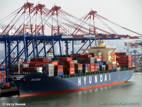
 HYUNDAI OAKLAND
Current Status
Where is the vessel?
HYUNDAI OAKLAND is currently in 11 nm E of Dungeness, based on AIS data received less than 1h ago.
Latest AIS update:
Current position: 50.89363° N, 1.26582° E (11 nm E of Dungeness)
Average speed (last 7 days): Loading…
Average speed (last 30 days): Loading…
Vessel profile: HYUNDAI OAKLAND is a Container Ship with dimensions 40m x 293m.
This page combines live AIS, route history, probable destination signals, nearby traffic, and port activity for practical vessel monitoring.
The current position of vessel HYUNDAI OAKLAND is 50.89363 lat / 1.26582 lng. Updated: 2026-05-14 17:26:03 UTCNearest reference points:
- Near Folkestone
- Near Le Portel
- Near Dover
Currently sailing under the flag of Korea (Republic of) ![]()
HYUNDAI OAKLAND built in 2009 year
Deadweight:
72982 tDetails:
Live Vessel HYUNDAI OAKLAND Analytics (details, animations, etc.)
Recent AIS points (UTC):
2026-05-14 14:09:22 UTC · 51.34628, 2.34142 · SOG 15.8 kn · COG 243°2026-05-14 16:08:33 UTC · 51.17398, 1.71993 · SOG 18.3 kn · COG 226°
2026-05-14 16:18:02 UTC · 51.14020, 1.66458 · SOG 18.4 kn · COG 226°
2026-05-14 17:26:03 UTC · 50.89363, 1.26582 · SOG 17.9 kn · COG 239°