 vesseltracker.com
 GOLDEN GATE
Current Status
Where is the vessel?
GOLDEN GATE is currently in Near Agía Pelagía, based on AIS data received less than 1h ago.
Latest AIS update:
Current position: 36.37770° N, 22.78910° E (Near Agía Pelagía)
Average speed (last 7 days): Loading…
Average speed (last 30 days): Loading…
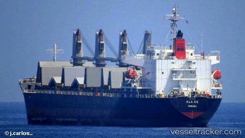
Vessel profile: GOLDEN GATE is a General Cargo with dimensions m x m.
This page combines live AIS, route history, probable destination signals, nearby traffic, and port activity for practical vessel monitoring.
The current position of vessel GOLDEN GATE is 36.37770 lat / 22.78910 lng. Updated: 2026-05-15 18:16:48 UTCNearest reference points:
- Near Kythira
- 17 nm S of Areópolis
- 20 nm E of FOKIANOS
Currently sailing under the flag of San Marino ![]()
Details:
Live Vessel GOLDEN GATE Analytics (details, animations, etc.)
Recent AIS points (UTC):
2026-05-15 14:00:47 UTC · 36.34475, 21.65694 · SOG 12.5 kn · COG 89°2026-05-15 16:09:41 UTC · 36.34333, 22.23333 · SOG 12 kn · COG -1°
2026-05-15 17:06:07 UTC · 36.34601, 22.48377 · SOG 12.5 kn · COG 75°
2026-05-15 18:16:48 UTC · 36.37770, 22.78910 · SOG 13 kn · COG 71°