 vesseltracker.com
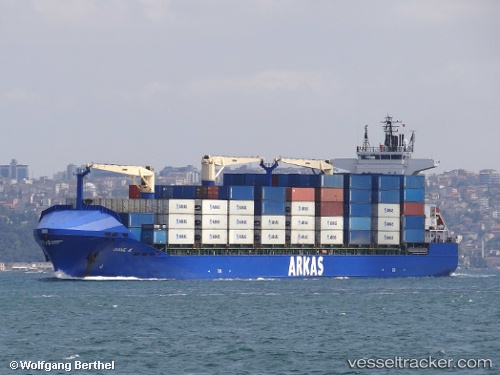
 DIANE A
Current Status
Where is the vessel?
DIANE A is currently in 31 nm SE of Almazora, based on AIS data received about 1h ago.
Latest AIS update:
Current position: 39.71667° N, 0.65500° E (31 nm SE of Almazora)
Average speed (last 7 days): Loading…
Average speed (last 30 days): Loading…
Vessel profile: DIANE A is a Container Ship with dimensions 184m x 24m.
This page combines live AIS, route history, probable destination signals, nearby traffic, and port activity for practical vessel monitoring.
The current position of vessel DIANE A is 39.71667 lat / 0.65500 lng. Updated: 2026-05-14 20:00:47 UTCNearest reference points:
- 26 nm SE of Almazora
- Near OROPESA DEL MAR
- 21 nm E of Llombai
Currently sailing under the flag of Malta ![]()
DIANE A built in 2008 year
Deadweight:
26052 tDetails:
Live Vessel DIANE A Analytics (details, animations, etc.)
Recent AIS points (UTC):
2026-05-14 15:40:04 UTC · 39.44737, -0.31729 · SOG 5.3 kn · COG 154°2026-05-14 16:34:05 UTC · 39.42712, -0.12613 · SOG 11.7 kn · COG 80°
2026-05-14 19:42:50 UTC · 39.69167, 0.58333 · SOG 11 kn · COG -1°
2026-05-14 20:00:47 UTC · 39.71667, 0.65500 · SOG 12 kn · COG -1°