 vesseltracker.com
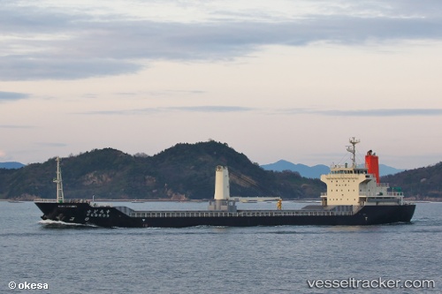
Cedros
Current StatusWhere is the vessel?
Cedros is currently in Near YAWATA, based on AIS data received about 1h ago.
Latest AIS update:
Current position: 33.87830° N, 130.76639° E (Near YAWATA)
Average speed (last 7 days): Loading…
Average speed (last 30 days): Loading…
Vessel profile: Cedros is a General Cargo Ship with dimensions 19m x 112m.
This page combines live AIS, route history, probable destination signals, nearby traffic, and port activity for practical vessel monitoring.
The current position of vessel Cedros is 33.87830 lat / 130.76639 lng. Updated: 2026-05-15 10:21:24 UTCNearest reference points:
- Near KITAKYUSHU
- Near Kokura
- Near Kanmon
Details:
Live Vessel Cedros Analytics (details, animations, etc.)
Recent AIS points (UTC):
2026-05-15 07:06:22 UTC · 33.87832, 130.76637 · SOG 0 kn · COG 252°2026-05-15 07:48:23 UTC · 33.87832, 130.76637 · SOG 0 kn · COG 253°
2026-05-15 09:54:21 UTC · 33.87831, 130.76637 · SOG 0 kn · COG 252°
2026-05-15 10:21:24 UTC · 33.87830, 130.76639 · SOG 0 kn · COG 252°