 vesseltracker.com
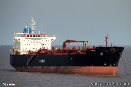
 Maetiga
Current Status
Where is the vessel?
Maetiga is currently in 230 nm NW of Tulear, based on AIS data received about 1h ago.
Latest AIS update:
Current position: 20.89164° S, 40.48989° E (230 nm NW of Tulear)
Average speed (last 7 days): Loading…
Average speed (last 30 days): Loading…
Vessel profile: Maetiga is a Chemical Oil Products Tanker with dimensions 183m x 32m.
This page combines live AIS, route history, probable destination signals, nearby traffic, and port activity for practical vessel monitoring.
The current position of vessel Maetiga is -20.89164 lat / 40.48989 lng. Updated: 2026-05-15 17:41:02 UTCNearest reference points:
- 229 nm SE of Quelimane
Currently sailing under the flag of Libya ![]()
Maetiga built in 2009 year
Deadweight:
46925 tDetails:
Live Vessel Maetiga Analytics (details, animations, etc.)
Recent AIS points (UTC):
2026-05-15 13:49:30 UTC · -21.50167, 40.08333 · SOG 10 kn · COG -1°2026-05-15 15:39:31 UTC · -21.22330, 40.27394 · SOG 10.9 kn · COG 32°
2026-05-15 17:07:35 UTC · -20.98500, 40.43167 · SOG 11 kn · COG -1°
2026-05-15 17:41:02 UTC · -20.89164, 40.48989 · SOG 11.6 kn · COG 32°