 vesseltracker.com
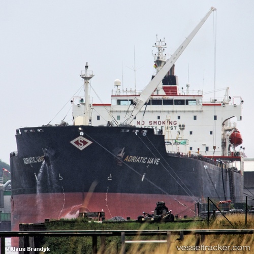
 SEAWAYS WAVE
Current Status
Where is the vessel?
SEAWAYS WAVE is currently in 60 nm S of Masatepe, based on AIS data received about 3h ago.
Latest AIS update:
Current position: 10.92010° N, 87.44352° W (60 nm S of Masatepe)
Average speed (last 7 days): Loading…
Average speed (last 30 days): Loading…
Vessel profile: SEAWAYS WAVE is a Oil/Chemical Tanker with dimensions m x m.
This page combines live AIS, route history, probable destination signals, nearby traffic, and port activity for practical vessel monitoring.
The current position of vessel SEAWAYS WAVE is 10.92010 lat / -87.44352 lng. Updated: 2026-04-25 18:42:14 UTCNearest reference points:
- 27 nm W of Playa Conchal
- Near Golfo de Papagayo
- Near El Salvador
Currently sailing under the flag of Marshall Islands ![]()
Details:
Live Vessel SEAWAYS WAVE Analytics (details, animations, etc.)
Recent AIS points (UTC):
2026-04-25 15:21:42 UTC · 11.43733, -88.00166 · SOG 13.6 kn · COG 127°2026-04-25 16:56:05 UTC · 11.20025, -87.73055 · SOG 13.5 kn · COG 132°
2026-04-25 18:42:14 UTC · 10.92010, -87.44352 · SOG 13.5 kn · COG 136°
2026-04-25 18:42:14 UTC · 10.92010, -87.44352 · SOG 13.5 kn · COG 136°