 vesseltracker.com
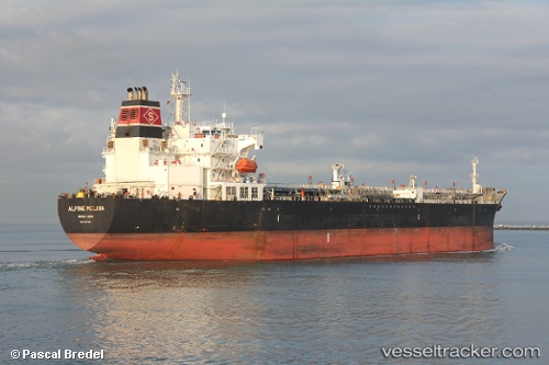
 SEAWAYS MELINA
Current Status
Where is the vessel?
SEAWAYS MELINA is currently in Near Panama, based on AIS data received about 1h ago.
Latest AIS update:
Current position: 8.84042° N, 79.52192° W (Near Panama)
Average speed (last 7 days): Loading…
Average speed (last 30 days): Loading…
Vessel profile: SEAWAYS MELINA is a Oil/Chemical Tanker with dimensions m x m.
This page combines live AIS, route history, probable destination signals, nearby traffic, and port activity for practical vessel monitoring.
The current position of vessel SEAWAYS MELINA is 8.84042 lat / -79.52192 lng. Updated: 2026-05-14 06:25:20 UTCNearest reference points:
- Near Panama
- Near El Chorrillo
- Near Melones
Currently sailing under the flag of Marshall Islands ![]()
Details:
Live Vessel SEAWAYS MELINA Analytics (details, animations, etc.)
Recent AIS points (UTC):
2026-05-14 02:28:21 UTC · 8.84038, -79.52200 · SOG 0 kn · COG 8°2026-05-14 04:07:20 UTC · 8.84057, -79.52256 · SOG 0.1 kn · COG 36°
2026-05-14 04:25:23 UTC · 8.84043, -79.52219 · SOG 0.1 kn · COG 20°
2026-05-14 06:25:20 UTC · 8.84042, -79.52192 · SOG 0.1 kn · COG 12°