 vesseltracker.com
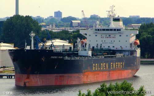
 MANASLU
Current Status
Where is the vessel?
MANASLU is currently in 11 nm W of Sigri Lesvou, based on AIS data received about 9d ago.
Latest AIS update:
Current position: 39.24505° N, 25.58960° E (11 nm W of Sigri Lesvou)
Average speed (last 7 days): Loading…
Average speed (last 30 days): Loading…
Vessel profile: MANASLU is a Oil/Chemical Tanker with dimensions m x m.
This page combines live AIS, route history, probable destination signals, nearby traffic, and port activity for practical vessel monitoring.
The current position of vessel MANASLU is 39.24505 lat / 25.58960 lng. Updated: 2026-05-08 08:26:53 UTCNearest reference points:
- 16 nm NW of Sigri Lesvou
- 14 nm NW of Baba Point
- 29 nm SW of Sigri Lesvou
Currently sailing under the flag of Madagascar ![]()
Details:
Live Vessel MANASLU Analytics (details, animations, etc.)
Recent AIS points (UTC):
2026-05-08 08:26:53 UTC · 39.24505, 25.58960 · SOG 1 kn · COG 233°2026-05-08 08:26:53 UTC · 39.24505, 25.58960 · SOG 1 kn · COG 233°
2026-05-08 08:26:53 UTC · 39.24505, 25.58960 · SOG 1 kn · COG 233°
2026-05-08 08:26:53 UTC · 39.24505, 25.58960 · SOG 1 kn · COG 233°