 vesseltracker.com
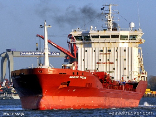
 FURTUNA
Current Status
Where is the vessel?
FURTUNA is currently in 23 nm N of RUMELI FENERI, based on AIS data received less than 1h ago.
Latest AIS update:
Current position: 41.60961° N, 29.19956° E (23 nm N of RUMELI FENERI)
Average speed (last 7 days): Loading…
Average speed (last 30 days): Loading…
Vessel profile: FURTUNA is a Oil/Chemical Tanker with dimensions m x m.
This page combines live AIS, route history, probable destination signals, nearby traffic, and port activity for practical vessel monitoring.
The current position of vessel FURTUNA is 41.60961 lat / 29.19956 lng. Updated: 2026-05-14 16:07:13 UTCNearest reference points:
- 19 nm NE of RUMELI FENERI
- Near RUMELI FENERI
- 45 nm N of RUMELI FENERI
Currently sailing under the flag of Tuvalu ![]()
Details:
Live Vessel FURTUNA Analytics (details, animations, etc.)
Recent AIS points (UTC):
2026-05-14 13:36:12 UTC · 41.16344, 29.06452 · SOG 8.6 kn · COG 40°2026-05-14 13:53:01 UTC · 41.19710, 29.10234 · SOG 11.2 kn · COG 48°
2026-05-14 16:04:02 UTC · 41.59924, 29.19951 · SOG 11.7 kn · COG 0°
2026-05-14 16:07:13 UTC · 41.60961, 29.19956 · SOG 11.7 kn · COG 0°