 vesseltracker.com
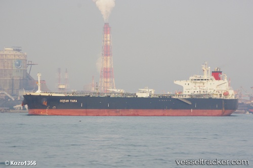
 BYZANTIUM
Current Status
Where is the vessel?
BYZANTIUM is currently in 12 nm N of Viinistu Sadam, based on AIS data received about 1h ago.
Latest AIS update:
Current position: 59.84867° N, 25.82713° E (12 nm N of Viinistu Sadam)
Average speed (last 7 days): Loading…
Average speed (last 30 days): Loading…
Vessel profile: BYZANTIUM is a Crude Oil Tanker with dimensions m x m.
This page combines live AIS, route history, probable destination signals, nearby traffic, and port activity for practical vessel monitoring.
The current position of vessel BYZANTIUM is 59.84867 lat / 25.82713 lng. Updated: 2026-05-14 02:07:58 UTCNearest reference points:
- 13 nm N of Viinistu Sadam
- Near Vessölandet
- Near Vuosaari (Nordsjö)
Currently sailing under the flag of Panama ![]()
Details:
Live Vessel BYZANTIUM Analytics (details, animations, etc.)
Recent AIS points (UTC):
2026-05-13 22:41:00 UTC · 59.84797, 25.82833 · SOG 0.5 kn · COG 261°2026-05-14 00:11:02 UTC · 59.84827, 25.82770 · SOG 0.2 kn · COG 233°
2026-05-14 01:35:03 UTC · 59.84868, 25.82707 · SOG 0.1 kn · COG 236°
2026-05-14 02:07:58 UTC · 59.84867, 25.82713 · SOG 0.1 kn · COG 232°