 vesseltracker.com
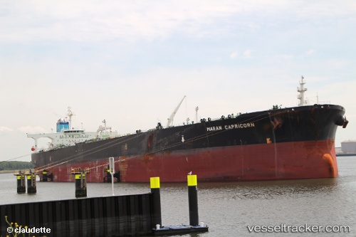
 STAR PIONE
Current Status
Where is the vessel?
STAR PIONE is currently in 70 nm W of Gageohyangri, based on AIS data received less than 1h ago.
Latest AIS update:
Current position: 34.49150° N, 123.77828° E (70 nm W of Gageohyangri)
Average speed (last 7 days): Loading…
Average speed (last 30 days): Loading…
Vessel profile: STAR PIONE is a Crude Oil Tanker with dimensions m x m.
This page combines live AIS, route history, probable destination signals, nearby traffic, and port activity for practical vessel monitoring.
The current position of vessel STAR PIONE is 34.49150 lat / 123.77828 lng. Updated: 2026-05-14 00:00:13 UTCNearest reference points:
- 77 nm W of Hongdo
- 82 nm W of Gageohyangri
- 102 nm W of Gageohyangri
Currently sailing under the flag of Barbados ![]()
Details:
Live Vessel STAR PIONE Analytics (details, animations, etc.)
Recent AIS points (UTC):
2026-05-13 19:56:44 UTC · 34.70977, 122.69855 · SOG 14 kn · COG 101°2026-05-13 21:22:51 UTC · 34.63402, 123.08888 · SOG 13.7 kn · COG 101°
2026-05-13 22:03:02 UTC · 34.59951, 123.26916 · SOG 13.6 kn · COG 101°
2026-05-14 00:00:13 UTC · 34.49150, 123.77828 · SOG 13 kn · COG 110°