 vesseltracker.com
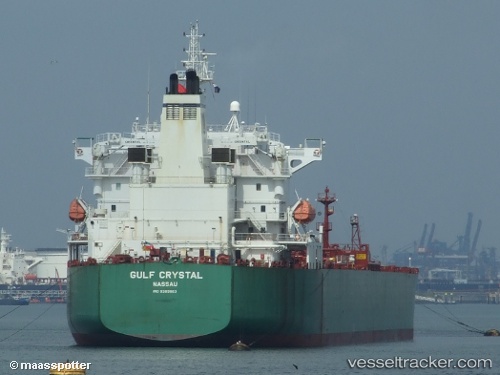
 SHAHRAZAD
Current Status
Where is the vessel?
SHAHRAZAD is currently in 16 nm W of Hulaylah Terminal, based on AIS data received about 3h ago.
Latest AIS update:
Current position: 25.98027° N, 55.63533° E (16 nm W of Hulaylah Terminal)
Average speed (last 7 days): Loading…
Average speed (last 30 days): Loading…
Vessel profile: SHAHRAZAD is a Crude Oil Tanker with dimensions 228m x 32m.
This page combines live AIS, route history, probable destination signals, nearby traffic, and port activity for practical vessel monitoring.
The current position of vessel SHAHRAZAD is 25.98027 lat / 55.63533 lng. Updated: 2026-05-14 10:27:35 UTCNearest reference points:
- 13 nm NW of Hulaylah Terminal
- Near Hulaylah Terminal
- 20 nm NW of Hulaylah Terminal
Currently sailing under the flag of Liberia ![]()
SHAHRAZAD built in 2009 year
Deadweight:
74999 tDetails:
Live Vessel SHAHRAZAD Analytics (details, animations, etc.)
Recent AIS points (UTC):
2026-05-14 08:22:22 UTC · 25.96123, 55.60015 · SOG 1.1 kn · COG 227°2026-05-14 09:50:33 UTC · 25.97564, 55.62765 · SOG 1 kn · COG 187°
2026-05-14 10:27:35 UTC · 25.98027, 55.63533 · SOG 0.9 kn · COG 134°
2026-05-14 10:27:35 UTC · 25.98027, 55.63533 · SOG 0.9 kn · COG 134°