 vesseltracker.com
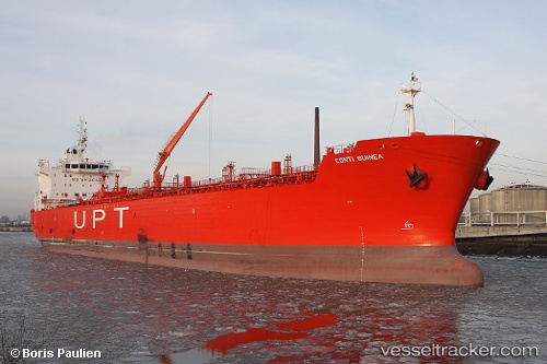
 MESTRAL
Current Status
Where is the vessel?
MESTRAL is currently in 50 nm SW of Kastellorizou (ex Megísti), based on AIS data received about 1h ago.
Latest AIS update:
Current position: 35.39136° N, 29.16583° E (50 nm SW of Kastellorizou (ex Megísti))
Average speed (last 7 days): Loading…
Average speed (last 30 days): Loading…
Vessel profile: MESTRAL is a Oil/Chemical Tanker with dimensions m x m.
This page combines live AIS, route history, probable destination signals, nearby traffic, and port activity for practical vessel monitoring.
The current position of vessel MESTRAL is 35.39136 lat / 29.16583 lng. Updated: 2026-05-16 11:53:26 UTCNearest reference points:
- Near KAS
- 108 nm S of Kastellorizou (ex Megísti)
- Near Finike
Currently sailing under the flag of Panama ![]()
Details:
Live Vessel MESTRAL Analytics (details, animations, etc.)
Recent AIS points (UTC):
2026-05-16 05:09:46 UTC · 34.94385, 30.72594 · SOG 11.9 kn · COG 287°2026-05-16 09:23:56 UTC · 35.22552, 29.74504 · SOG 12.2 kn · COG 285°
2026-05-16 11:04:36 UTC · 35.33753, 29.35269 · SOG 11.9 kn · COG 286°
2026-05-16 11:53:26 UTC · 35.39136, 29.16583 · SOG 11.9 kn · COG 286°