 vesseltracker.com
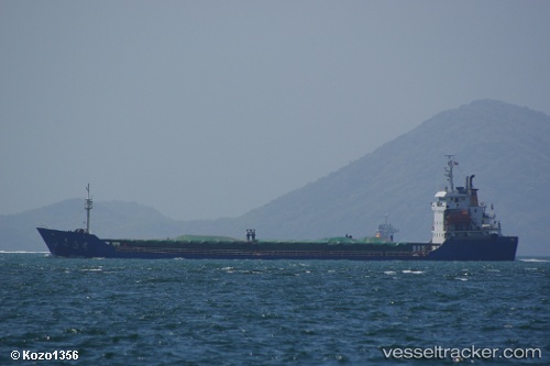
 GREEN WAY
Current Status
Where is the vessel?
GREEN WAY is currently in Near Nha Be, based on AIS data received about 1h ago.
Latest AIS update:
Current position: 10.70487° N, 106.75156° E (Near Nha Be)
Average speed (last 7 days): Loading…
Average speed (last 30 days): Loading…
Vessel profile: GREEN WAY is a General Cargo with dimensions m x m.
This page combines live AIS, route history, probable destination signals, nearby traffic, and port activity for practical vessel monitoring.
The current position of vessel GREEN WAY is 10.70487 lat / 106.75156 lng. Updated: 2026-05-14 23:42:18 UTCNearest reference points:
- Near Nha Be
- Near Cat Lai Oil Port
- Near Saigon Petro Oil Terminal
Currently sailing under the flag of Saint Kitts and Nevis ![]()
Details:
Live Vessel GREEN WAY Analytics (details, animations, etc.)
Recent AIS points (UTC):
2026-05-14 20:15:44 UTC · 10.70745, 106.75129 · SOG 0 kn · COG 161°2026-05-14 22:14:17 UTC · 10.70486, 106.75161 · SOG 0.1 kn · COG 3°
2026-05-14 22:33:11 UTC · 10.70485, 106.75158 · SOG 0 kn · COG 6°
2026-05-14 23:42:18 UTC · 10.70487, 106.75156 · SOG 0 kn · COG 8°