 vesseltracker.com
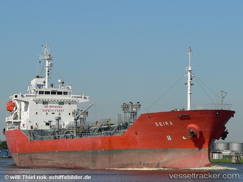
Princess Maryam
Current StatusWhere is the vessel?
Princess Maryam is currently in Near Colombo, based on AIS data received less than 1h ago.
Latest AIS update:
Current position: 6.95903° N, 79.85397° E (Near Colombo)
Average speed (last 7 days): Loading…
Average speed (last 30 days): Loading…
Vessel profile: Princess Maryam is a Oil Products Tanker with dimensions 19m x 123m.
This page combines live AIS, route history, probable destination signals, nearby traffic, and port activity for practical vessel monitoring.
The current position of vessel Princess Maryam is 6.95903 lat / 79.85397 lng. Updated: 2026-05-14 12:22:30 UTCNearest reference points:
- 19 nm SW of Bataduwa
- 67 nm SW of Moratuwa
- 38 nm SW of Galle
Details:
Live Vessel Princess Maryam Analytics (details, animations, etc.)
Recent AIS points (UTC):
2026-05-14 08:10:24 UTC · 6.95904, 79.85386 · SOG 0 kn · COG 76°2026-05-14 09:49:28 UTC · 6.95904, 79.85385 · SOG 0 kn · COG 76°
2026-05-14 10:25:20 UTC · 6.95905, 79.85385 · SOG 0 kn · COG 76°
2026-05-14 12:22:30 UTC · 6.95903, 79.85397 · SOG 0 kn · COG 76°