 SL HARRIER
Current Status
Where is the vessel?
SL HARRIER is currently in Near Puerto Cortes, based on AIS data received about 14h ago.
Latest AIS update:
Current position: 15.84256° N, 87.94388° W (Near Puerto Cortes)
Average speed (last 7 days): Loading…
Average speed (last 30 days): Loading…
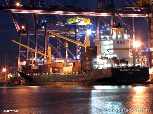
Vessel profile: SL HARRIER is a Container Ship with dimensions m x m.
This page combines live AIS, route history, probable destination signals, nearby traffic, and port activity for practical vessel monitoring.
The current position of vessel SL HARRIER is 15.84256 lat / -87.94388 lng. Updated: 2026-05-23 23:24:09 UTCNearest reference points:
- 14 nm NW of Puerto Cortes
- 26 nm SE of Dangriga
- 12 nm SW of Dangriga
Currently sailing under the flag of Liberia ![]()
Details:
Live Vessel SL HARRIER Analytics (details, animations, etc.)
Recent AIS points (UTC):
2026-05-23 20:21:14 UTC · 15.84257, -87.94388 · SOG 0 kn · COG 280°2026-05-23 21:42:10 UTC · 15.84258, -87.94388 · SOG 0 kn · COG 278°
2026-05-23 22:34:55 UTC · 15.84167, -87.94333 · SOG 0 kn · COG -1°
2026-05-23 23:24:09 UTC · 15.84256, -87.94388 · SOG 0 kn · COG 277°