 vesseltracker.com
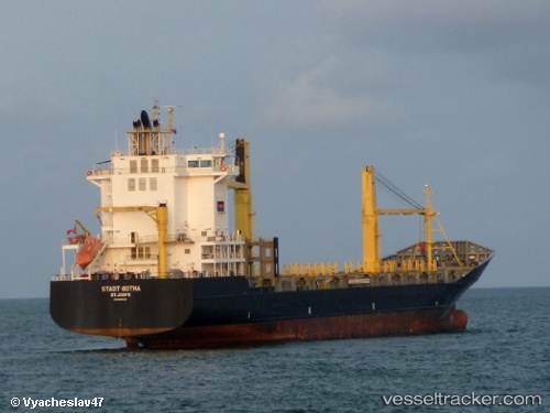
 CARIBBEAN STAR
Current Status
Where is the vessel?
CARIBBEAN STAR is currently in 39 nm NW of Camden Park, based on AIS data received less than 1h ago.
Latest AIS update:
Current position: 13.47500° N, 61.81167° W (39 nm NW of Camden Park)
Average speed (last 7 days): Loading…
Average speed (last 30 days): Loading…
Vessel profile: CARIBBEAN STAR is a Container Ship with dimensions m x m.
This page combines live AIS, route history, probable destination signals, nearby traffic, and port activity for practical vessel monitoring.
The current position of vessel CARIBBEAN STAR is 13.47500 lat / -61.81167 lng. Updated: 2026-05-01 06:09:12 UTCNearest reference points:
- Near Kingstown
- Near Gros Islet
- 16 nm SW of Carriacou Apt
Currently sailing under the flag of Cyprus ![]()
Details:
Live Vessel CARIBBEAN STAR Analytics (details, animations, etc.)
Recent AIS points (UTC):
2026-05-01 01:57:12 UTC · 13.15333, -61.22833 · SOG 0 kn · COG -1°2026-05-01 03:39:54 UTC · 13.15284, -61.22943 · SOG 1.8 kn · COG 262°
2026-05-01 04:46:39 UTC · 13.27373, -61.48478 · SOG 16.3 kn · COG 300°
2026-05-01 06:09:12 UTC · 13.47500, -61.81167 · SOG 16 kn · COG -1°