 vesseltracker.com
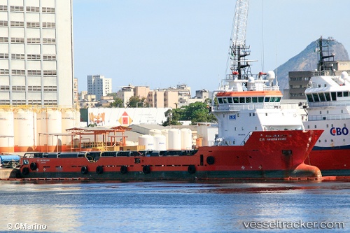
 MURAT ILHAN
Current Status
Where is the vessel?
MURAT ILHAN is currently in Near YALOVA, based on AIS data received about 2h ago.
Latest AIS update:
Current position: 40.70106° N, 29.46189° E (Near YALOVA)
Average speed (last 7 days): Loading…
Average speed (last 30 days): Loading…
Vessel profile: MURAT ILHAN is a Offshore Supply Ship with dimensions 16m x 74m.
This page combines live AIS, route history, probable destination signals, nearby traffic, and port activity for practical vessel monitoring.
The current position of vessel MURAT ILHAN is 40.70106 lat / 29.46189 lng. Updated: 2026-05-15 01:03:52 UTCNearest reference points:
- Near YALOVA
- Near Yilport
- Near Diliskelesi
Currently sailing under the flag of Turkey ![]()
MURAT ILHAN built in 2009 year
Deadweight:
3240 tDetails:
Live Vessel MURAT ILHAN Analytics (details, animations, etc.)
Recent AIS points (UTC):
2026-05-14 21:36:53 UTC · 40.70108, 29.46186 · SOG 0 kn · COG 319°2026-05-14 22:39:49 UTC · 40.70106, 29.46187 · SOG 0 kn · COG 319°
2026-05-15 00:00:58 UTC · 40.70106, 29.46190 · SOG 0 kn · COG 319°
2026-05-15 01:03:52 UTC · 40.70106, 29.46189 · SOG 0 kn · COG 319°