 vesseltracker.com
 HARBIYE
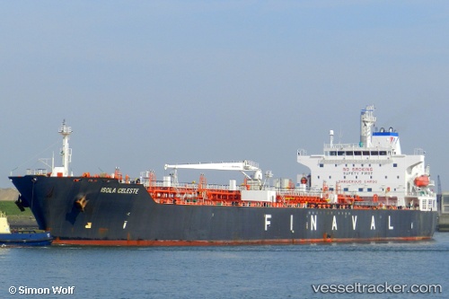
Current Status
Where is the vessel?
HARBIYE is currently in 105 nm W of Jarjis, based on AIS data received less than 1h ago.
Latest AIS update:
Current position: 33.64758° N, 13.19242° W (105 nm W of Jarjis)
Average speed (last 7 days): Loading…
Average speed (last 30 days): Loading…
Vessel profile: HARBIYE is a Oil/Chemical Tanker with dimensions m x m.
This page combines live AIS, route history, probable destination signals, nearby traffic, and port activity for practical vessel monitoring.
The current position of vessel HARBIYE is 33.64758 lat / -13.19242 lng. Updated: 2026-05-16 10:12:04 UTCNearest reference points:
- 104 nm W of Jarjis
- 101 nm SW of Jarjis
- 109 nm E of Porto Santo Island
Currently sailing under the flag of Panama ![]()
Details:
Live Vessel HARBIYE Analytics (details, animations, etc.)
Recent AIS points (UTC):
2026-05-16 07:13:53 UTC · 33.70771, -13.09841 · SOG 2.2 kn · COG 286°2026-05-16 07:41:30 UTC · 33.69813, -13.11403 · SOG 2.5 kn · COG 280°
2026-05-16 10:05:05 UTC · 33.64994, -13.18922 · SOG 2.2 kn · COG 274°
2026-05-16 10:12:04 UTC · 33.64758, -13.19242 · SOG 1.9 kn · COG 276°