 vesseltracker.com
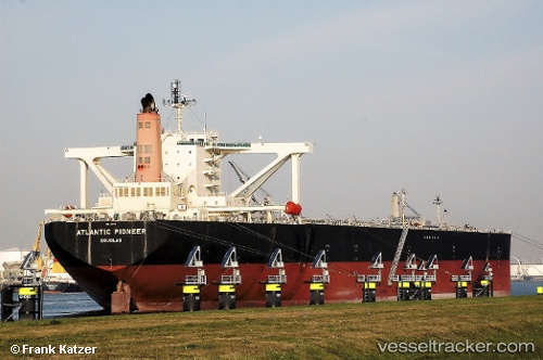
 ATLANTIC PIONEER
Current Status
Where is the vessel?
ATLANTIC PIONEER is currently in 43 nm N of Catia La Mar, based on AIS data received less than 1h ago.
Latest AIS update:
Current position: 11.31714° N, 67.08681° W (43 nm N of Catia La Mar)
Average speed (last 7 days): Loading…
Average speed (last 30 days): Loading…
Vessel profile: ATLANTIC PIONEER is a Crude Oil Tanker with dimensions 60m x 333m.
This page combines live AIS, route history, probable destination signals, nearby traffic, and port activity for practical vessel monitoring.
The current position of vessel ATLANTIC PIONEER is 11.31714 lat / -67.08681 lng. Updated: 2026-05-01 21:39:17 UTCNearest reference points:
- Near Bullenbaai
Currently sailing under the flag of Panama ![]()
ATLANTIC PIONEER built in 2009 year
Deadweight:
302303 tDetails:
Live Vessel ATLANTIC PIONEER Analytics (details, animations, etc.)
Recent AIS points (UTC):
2026-05-01 18:21:10 UTC · 11.42450, -67.15703 · SOG 1.4 kn · COG 179°2026-05-01 19:23:08 UTC · 11.42170, -67.18119 · SOG 1.2 kn · COG 174°
2026-05-01 19:39:46 UTC · 11.42071, -67.18716 · SOG 1.2 kn · COG 178°
2026-05-01 21:39:17 UTC · 11.31714, -67.08681 · SOG 8.9 kn · COG 127°