 vesseltracker.com
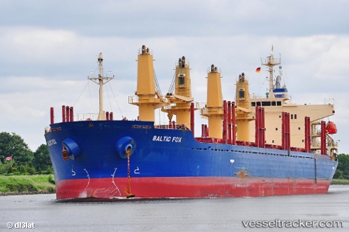
 HAKE
HAKE
Current Status
Where is the vessel?
HAKE is currently in 36 nm SE of Pinos Puente, based on AIS data received less than 1h ago.
Latest AIS update:
Current position: 36.82575° N, 34.31643° W (36 nm SE of Pinos Puente)
Average speed (last 7 days): Loading…
Average speed (last 30 days): Loading…
Vessel profile: HAKE is a Bulk Carrier with dimensions 29m x 175m.
This page combines live AIS, route history, probable destination signals, nearby traffic, and port activity for practical vessel monitoring.
The current position of vessel HAKE is 36.82575 lat / -34.31643 lng. Updated: 2026-05-02 12:08:40 UTCNearest reference points:
- 107 nm SE of Sariseki
Currently sailing under the flag of Liberia ![]()
HAKE built in 2010 year
Deadweight:
31883 tDetails:
Live Vessel HAKE Analytics (details, animations, etc.)
Recent AIS points (UTC):
2026-05-02 08:01:42 UTC · 37.23677, -33.43613 · SOG 11.9 kn · COG 239°2026-05-02 09:28:52 UTC · 37.11072, -33.75915 · SOG 12.1 kn · COG 237°
2026-05-02 10:13:09 UTC · 37.02887, -33.91518 · SOG 12 kn · COG 239°
2026-05-02 12:08:40 UTC · 36.82575, -34.31643 · SOG 11.6 kn · COG 236°