 vesseltracker.com
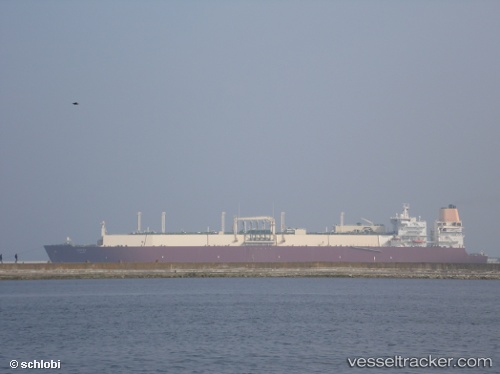
Onaiza
Current StatusWhere is the vessel?
Onaiza is currently in 76 nm SW of Veraval, based on AIS data received about 2h ago.
Latest AIS update:
Current position: 20.28451° N, 69.18160° E (76 nm SW of Veraval)
Average speed (last 7 days): Loading…
Average speed (last 30 days): Loading…
Vessel profile: Onaiza is a Lng Tanker with dimensions 50m x 315m.
This page combines live AIS, route history, probable destination signals, nearby traffic, and port activity for practical vessel monitoring.
The current position of vessel Onaiza is 20.28451 lat / 69.18160 lng. Updated: 2026-04-28 19:23:21 UTCNearest reference points:
- 54 nm S of Positra
- 49 nm S of Positra
- 33 nm S of Mul Dwårka
Details:
Live Vessel Onaiza Analytics (details, animations, etc.)
Recent AIS points (UTC):
2026-04-28 15:52:13 UTC · 20.28185, 69.11663 · SOG 0.7 kn · COG 350°2026-04-28 16:23:21 UTC · 20.28308, 69.12378 · SOG 0.9 kn · COG 346°
2026-04-28 17:34:31 UTC · 20.28385, 69.14139 · SOG 0.9 kn · COG 357°
2026-04-28 19:23:21 UTC · 20.28451, 69.18160 · SOG 1.4 kn · COG 1°