 vesseltracker.com
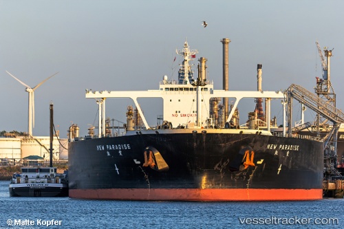
 New Paradise
Current Status
Where is the vessel?
New Paradise is currently in 64 nm SE of Honshu, based on AIS data received about 1h ago.
Latest AIS update:
Current position: 34.08872° N, 141.17191° E (64 nm SE of Honshu)
Average speed (last 7 days): Loading…
Average speed (last 30 days): Loading…
Vessel profile: New Paradise is a Crude Oil Tanker with dimensions 330m x 60m.
This page combines live AIS, route history, probable destination signals, nearby traffic, and port activity for practical vessel monitoring.
The current position of vessel New Paradise is 34.08872 lat / 141.17191 lng. Updated: 2026-05-14 20:23:55 UTCNearest reference points:
- Near OHARA
- 12 nm E of CHOSHI
- Near Nishitokyo
Currently sailing under the flag of Liberia ![]()
New Paradise built in 2010 year
Deadweight:
297863 tDetails:
Live Vessel New Paradise Analytics (details, animations, etc.)
Recent AIS points (UTC):
2026-05-14 16:51:56 UTC · 34.05159, 141.19073 · SOG 0.8 kn · COG 125°2026-05-14 17:36:25 UTC · 34.06093, 141.18730 · SOG 0.8 kn · COG 124°
2026-05-14 19:32:35 UTC · 34.08105, 141.17780 · SOG 0.5 kn · COG 120°
2026-05-14 20:23:55 UTC · 34.08872, 141.17191 · SOG 0.7 kn · COG 126°