 vesseltracker.com
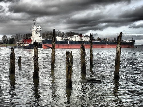
 Gulf Reliance
Current Status
Where is the vessel?
Gulf Reliance is currently in Near Tampa, based on AIS data received about 1h ago.
Latest AIS update:
Current position: 27.91452° N, 82.44247° W (Near Tampa)
Average speed (last 7 days): Loading…
Average speed (last 30 days): Loading…
Vessel profile: Gulf Reliance is a Pusher Tug with dimensions 206m x 23m.
This page combines live AIS, route history, probable destination signals, nearby traffic, and port activity for practical vessel monitoring.
The current position of vessel Gulf Reliance is 27.91452 lat / -82.44247 lng. Updated: 2026-05-14 00:21:09 UTCNearest reference points:
- Near Tampa
- Near St. Petersburg
- Near Saint Petersburg
Currently sailing under the flag of USA ![]()
Gulf Reliance built in 2006 year
Deadweight:
835 tDetails:
Live Vessel Gulf Reliance Analytics (details, animations, etc.)
Recent AIS points (UTC):
2026-05-13 19:46:02 UTC · 27.91333, -82.44167 · SOG 0 kn · COG -1°2026-05-13 21:39:23 UTC · 27.91455, -82.44249 · SOG 0 kn · COG 189°
2026-05-13 23:04:02 UTC · 27.91333, -82.44167 · SOG 0 kn · COG -1°
2026-05-14 00:21:09 UTC · 27.91452, -82.44247 · SOG 0 kn · COG 334°